
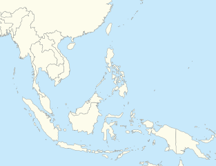
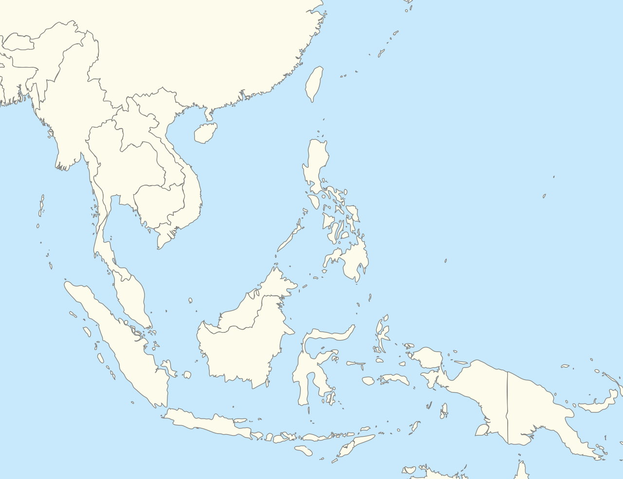
ຮູບ:Southeast Asia location map.svg

Size of this PNG preview of this SVG file: 492 × 378 ພິກເຊວ. ຄວາມລະອຽດອື່ນ ໆ: 313 × 240 ພິກເຊວ | 625 × 480 ພິກເຊວ | 1,000 × 768 ພິກເຊວ | 1,280 × 983 ພິກເຊວ | 2,560 × 1,967 ພິກເຊວ
ໄຟລ໌ຕົ້ນສະບັບ (SVG file, nominally 492 × 378 pixels, file size: 436 KB)
ສະຫຼຸບ
| ລາຍລະອຽດ |
English: Southeast Asia location map |
| ວັນທີ | |
| Source | Own work |
| ຜູ້ຂຽນ | Hariboneagle927 |
Licensing
| I, the copyright holder of this work, release this work into the public domain. This applies worldwide. In some countries this may not be legally possible; if so: I grant anyone the right to use this work for any purpose, without any conditions, unless such conditions are required by law. |
ປະຫວັດໄຟລ໌
ຄລິກທີ່ ວັນທີ/ເວລາ ເພື່ອເບິ່ງໄຟລ໌ດັ່ງທີ່ມັນປາກົດໃນເວລານັ້ນ
| ວັນເວລາ | ຮູບຍໍ່ | ມິຕິ | ຜູ້ໃຊ້ | ຄວາມເຫັນ | |
|---|---|---|---|---|---|
| ປະຈຸບັນ | 05:08, 5 ທັນວາ 2014 | | 492 × 378(436 KB) | Hariboneagle927 | Expanding top to Shanghai so Myanmar is wholly seen in the map |
| 04:45, 5 ທັນວາ 2014 |  | 492 × 334(436 KB) | Hariboneagle927 | User created page with UploadWizard |
ການໃຊ້ໄຟລ໌
3 ໜ້າຕໍ່ໄປນີ້ເຊື່ອມໂຍງຫາໄຟລ໌ນີ້:
ການໃຊ້ໄຟລ໌ທົ່ວໂລກ
ວິກິອື່ນ ໆ ຕໍ່ໄປນີ້ໃຊ້ໄຟລ໌ນີ້:
- ການໃຊ້ງານເທິງ ar.wikipedia.org
- ການໃຊ້ງານເທິງ azb.wikipedia.org
- ການໃຊ້ງານເທິງ ban.wikipedia.org
- ການໃຊ້ງານເທິງ bcl.wikipedia.org
- ການໃຊ້ງານເທິງ blk.wikipedia.org
- ການໃຊ້ງານເທິງ bn.wikipedia.org
- ການໃຊ້ງານເທິງ ceb.wikipedia.org
- ການໃຊ້ງານເທິງ de.wikipedia.org
- ການໃຊ້ງານເທິງ en.wikipedia.org
View more global usage of this file.