
ຮູບ:South America laea location map.svg

Size of this PNG preview of this SVG file: 409 × 600 ພິກເຊວ. ຄວາມລະອຽດອື່ນ ໆ: 163 × 240 ພິກເຊວ | 327 × 480 ພິກເຊວ | 524 × 768 ພິກເຊວ | 698 × 1,024 ພິກເຊວ | 1,396 × 2,048 ພິກເຊວ | 1,181 × 1,732 ພິກເຊວ
ໄຟລ໌ຕົ້ນສະບັບ (SVG file, nominally 1,181 × 1,732 pixels, file size: 2.96 MB)
ສະຫຼຸບ
| ລາຍລະອຽດ |
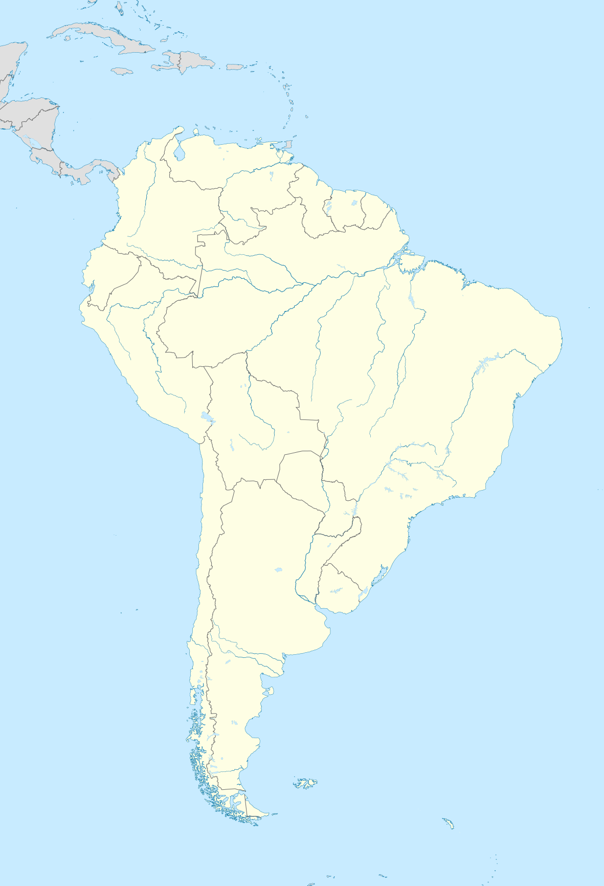
English: Location map of SouthAmerica with borders.
|
| ວັນທີ | |
| Source | Own work |
| ຜູ້ຂຽນ | Uwe Dedering |
| Other versions | Derivative works of this file: Gran Premio de la America del Sur del TC.jpg |
Licensing
I, the copyright holder of this work, hereby publish it under the following licenses:
This file is licensed under the Creative Commons Attribution-Share Alike 3.0 Unported license.
- You are free:
- to share – to copy, distribute and transmit the work
- to remix – to adapt the work
- Under the following conditions:
- ສະແດງທີ່ມາ – You must give appropriate credit, provide a link to the license, and indicate if changes were made. You may do so in any reasonable manner, but not in any way that suggests the licensor endorses you or your use.
- ແບ່ງປັນຄືກັນ – If you remix, transform, or build upon the material, you must distribute your contributions under the same or compatible license as the original.

|
Permission is granted to copy, distribute and/or modify this document under the terms of the GNU Free Documentation License, Version 1.2 or any later version published by the Free Software Foundation; with no Invariant Sections, no Front-Cover Texts, and no Back-Cover Texts. A copy of the license is included in the section entitled GNU Free Documentation License. |
You may select the license of your choice.
ປະຫວັດໄຟລ໌
ຄລິກທີ່ ວັນທີ/ເວລາ ເພື່ອເບິ່ງໄຟລ໌ດັ່ງທີ່ມັນປາກົດໃນເວລານັ້ນ
| ວັນເວລາ | ຮູບຍໍ່ | ມິຕິ | ຜູ້ໃຊ້ | ຄວາມເຫັນ | |
|---|---|---|---|---|---|
| ປະຈຸບັນ | 11:33, 11 ທັນວາ 2014 | | 1,181 × 1,732(2.96 MB) | NordNordWest | Reverted to version as of 12:48, 27 November 2010; French Guiana is obviously part of South America |
| 10:35, 11 ທັນວາ 2014 |  | 1,181 × 1,732(2.63 MB) | Ravenpuff | Minor alterations | |
| 12:48, 27 ພະຈິກ 2010 |  | 1,181 × 1,732(2.96 MB) | Uwe Dedering | {{Information |Description={{en|1= Location map of SouthAmerica. * Projection: Lambert azimuthal equal-area projection. * Area of interest: :* N: 25.0° N :* S: -60.0° N :* W: -90.0° E :* E: -30.0° E * Projection center: :* NS: -17.5° N :* WE: -60.0° |
ການໃຊ້ໄຟລ໌
ໜ້າຕໍ່ໄປນີ້ເຊື່ອມໂຍງຫາໄຟລ໌ນີ້:
ການໃຊ້ໄຟລ໌ທົ່ວໂລກ
ວິກິອື່ນ ໆ ຕໍ່ໄປນີ້ໃຊ້ໄຟລ໌ນີ້:
- ການໃຊ້ງານເທິງ af.wikipedia.org
- ການໃຊ້ງານເທິງ als.wikipedia.org
- ການໃຊ້ງານເທິງ ar.wikipedia.org
- ການໃຊ້ງານເທິງ ast.wikipedia.org
- ການໃຊ້ງານເທິງ av.wikipedia.org
- ການໃຊ້ງານເທິງ az.wikipedia.org
- ການໃຊ້ງານເທິງ ba.wikipedia.org
- ການໃຊ້ງານເທິງ be.wikipedia.org
- ການໃຊ້ງານເທິງ bg.wikipedia.org
- ການໃຊ້ງານເທິງ bh.wikipedia.org
- ການໃຊ້ງານເທິງ bn.wikipedia.org
- ການໃຊ້ງານເທິງ br.wikipedia.org
- ການໃຊ້ງານເທິງ ca.wikipedia.org
- ການໃຊ້ງານເທິງ ceb.wikipedia.org
- ການໃຊ້ງານເທິງ ce.wikipedia.org
- ການໃຊ້ງານເທິງ cs.wikipedia.org
- ການໃຊ້ງານເທິງ de.wikipedia.org
- Liste deutscher Auslandsschulen
- Pisagua
- Benutzer:Altaileopard
- Parinacota (Ort)
- Quiani
- Vorlage:Positionskarte Französisch-Guayana
- Wikipedia:Kartenwerkstatt/Positionskarten/Andere
- Benutzer:Uwe Dedering
- Pica (Chile)
- Vorlage:Positionskarte Südamerika
- Benutzer:Zumthie/Impakt Krater Test
- Benutzer:Zumthie/Impaktkrater Südamerika
- Wikipedia:Kartenwerkstatt/Archiv/2010-11
- Benutzer:Altaileopard/Die wichtigsten Wildreservate der Erde - Südostasien und Australien
- Benutzer:Altaileopard/Die wichtigsten Wildreservate der Erde - Amerika
- Entre Lagos
- Geschichte der Stadt Pereira
- Benutzer:Fallleitungsstütze
View more global usage of this file.