
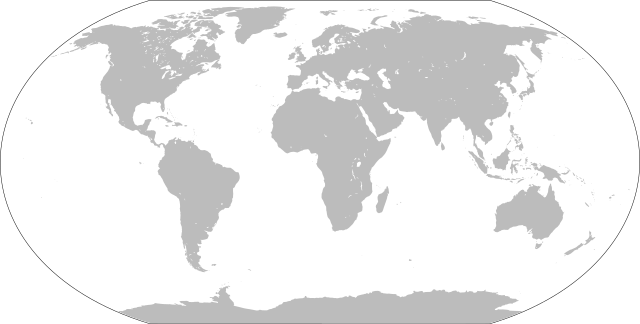
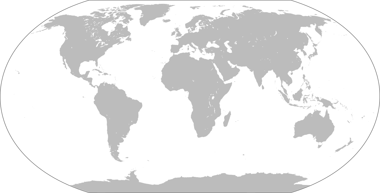
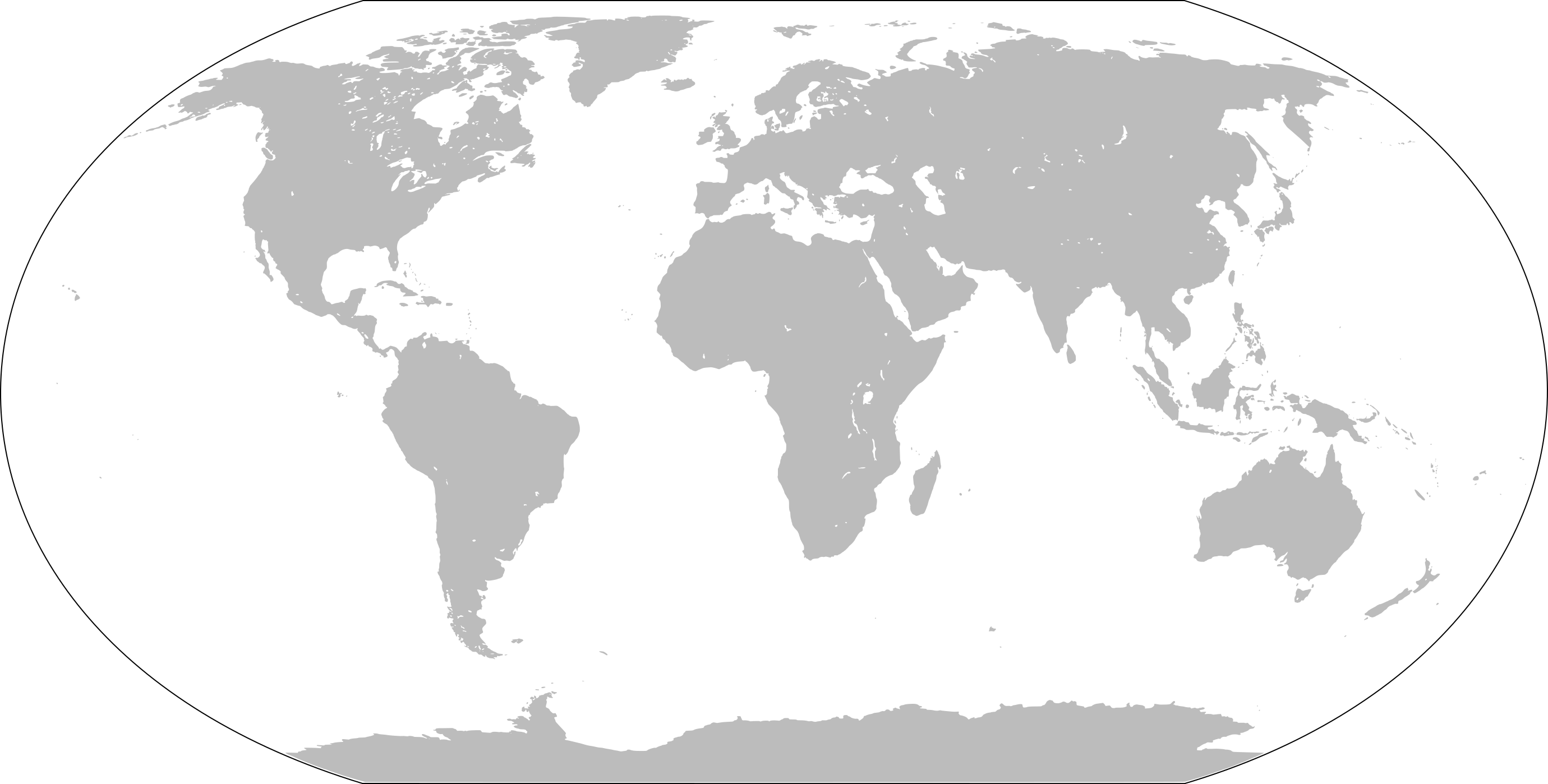
ຮູບ:WorldMap.svg

Size of this PNG preview of this SVG file: 800 × 405 ພິກເຊວ. ຄວາມລະອຽດອື່ນ ໆ: 320 × 162 ພິກເຊວ | 640 × 324 ພິກເຊວ | 1,024 × 519 ພິກເຊວ | 1,280 × 648 ພິກເຊວ | 2,560 × 1,297 ພິກເຊວ | 2,760 × 1,398 ພິກເຊວ
ໄຟລ໌ຕົ້ນສະບັບ (SVG file, nominally 2,760 × 1,398 pixels, file size: 729 KB)
ສະຫຼຸບ
| ລາຍລະອຽດ | Blank world map |
| ວັນທີ | |
| Source | Own work based on: LocationWorld.png by David Kernow |
| ຜູ້ຂຽນ |
Original: Vector: |
| SVG genesis |
Licensing
This image is in the public domain because it contains materials that originally came from the United States Central Intelligence Agency's World Factbook.
|
 |
ປະຫວັດໄຟລ໌
ຄລິກທີ່ ວັນທີ/ເວລາ ເພື່ອເບິ່ງໄຟລ໌ດັ່ງທີ່ມັນປາກົດໃນເວລານັ້ນ
| ວັນເວລາ | ຮູບຍໍ່ | ມິຕິ | ຜູ້ໃຊ້ | ຄວາມເຫັນ | |
|---|---|---|---|---|---|
| ປະຈຸບັນ | 16:43, 26 ມັງກອນ 2022 | | 2,760 × 1,398(729 KB) | Scratchinghead | Islands disconnected-again |
| 16:26, 26 ມັງກອນ 2022 |  | 2,760 × 1,398(236 KB) | Belbury | Reverted to version as of 08:52, 12 September 2012 (UTC) also erased the sea and the map's border | |
| 16:22, 26 ມັງກອນ 2022 |  | 5,365 × 2,796(714 KB) | Scratchinghead | Some islands were connected to the mainland, changed that | |
| 08:52, 12 ກັນຍາ 2012 |  | 2,760 × 1,398(236 KB) | Palosirkka | Scrubbed with http://codedread.com/scour/ | |
| 14:51, 1 ມັງກອນ 2009 |  | 2,760 × 1,398(508 KB) | CodeOne | == Summary == This is a recreated version of Image:LocationWorld.png using vector graphics. Original description: Large plain-grey map of world created by adapting Image:LocationSouthAmerica.png. Previous image uploaded by User:UserLogin no |
ການໃຊ້ໄຟລ໌
2 ໜ້າຕໍ່ໄປນີ້ເຊື່ອມໂຍງຫາໄຟລ໌ນີ້:
ການໃຊ້ໄຟລ໌ທົ່ວໂລກ
ວິກິອື່ນ ໆ ຕໍ່ໄປນີ້ໃຊ້ໄຟລ໌ນີ້:
- ການໃຊ້ງານເທິງ bn.wikibooks.org
- ການໃຊ້ງານເທິງ da.wikipedia.org
- ການໃຊ້ງານເທິງ en.wikipedia.org
- ການໃຊ້ງານເທິງ en.wikibooks.org
- ການໃຊ້ງານເທິງ es.wikipedia.org
- ການໃຊ້ງານເທິງ fa.wikipedia.org
- ການໃຊ້ງານເທິງ fr.wikipedia.org
- ການໃຊ້ງານເທິງ he.wikipedia.org
- ການໃຊ້ງານເທິງ hu.wiktionary.org
- Central Europe
- Eastern Europe
- Southern Europe
- Northern Europe
- Antarctica
- North America
- South America
- Asia
- Indian Ocean
- Central America
- Micronesia
- Pacific Ocean
- Earth
- Caribbean
- Americas
- Arctic Ocean
- Central Africa
- Southern Ocean
- East Asia
- West Africa
- North Africa
- Western Europe
- West Asia
- Sablon:Earth Labelled Map
- South Asia
- Australasia
- Northern America
- East Africa
- Horn of Africa
- Southwest Asia
- Central Asia
View more global usage of this file.