
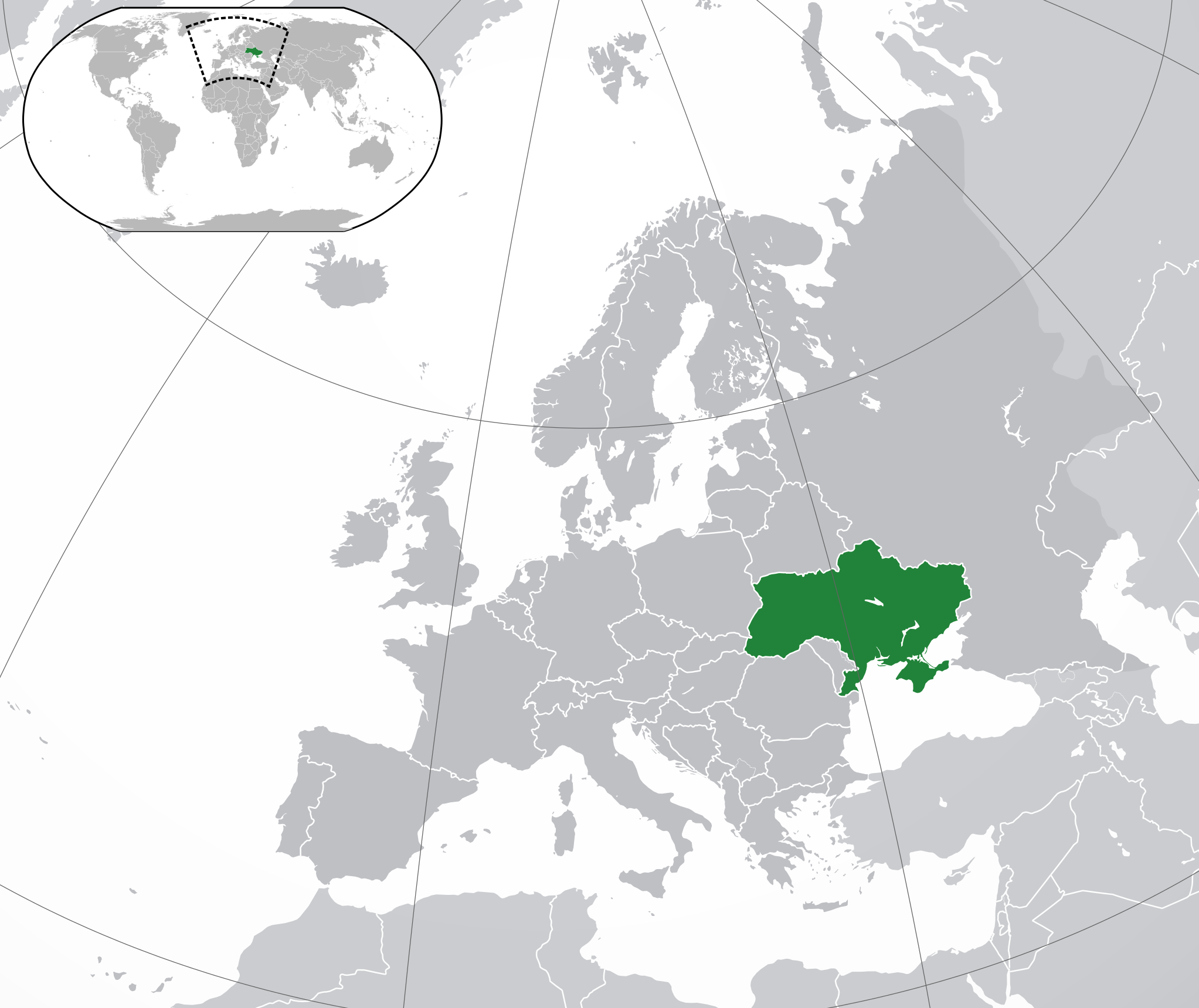
ຮູບ:Europe-Ukraine.svg

Size of this PNG preview of this SVG file: 713 × 600 ພິກເຊວ. ຄວາມລະອຽດອື່ນ ໆ: 285 × 240 ພິກເຊວ | 571 × 480 ພິກເຊວ | 913 × 768 ພິກເຊວ | 1,218 × 1,024 ພິກເຊວ | 2,435 × 2,048 ພິກເຊວ | 2,045 × 1,720 ພິກເຊວ
ໄຟລ໌ຕົ້ນສະບັບ (SVG file, nominally 2,045 × 1,720 pixels, file size: 7.33 MB)
ສະຫຼຸບ
| ລາຍລະອຽດ | |
| ວັນທີ | |
| Source | Own work |
| ຜູ້ຂຽນ |
|
| Other versions |
|
| SVG genesis |
.svg)
Licensing
I, the copyright holder of this work, hereby publish it under the following license:
This file is licensed under the Creative Commons Attribution 3.0 Unported license.
- You are free:
- to share – to copy, distribute and transmit the work
- to remix – to adapt the work
- Under the following conditions:
- ສະແດງທີ່ມາ – You must give appropriate credit, provide a link to the license, and indicate if changes were made. You may do so in any reasonable manner, but not in any way that suggests the licensor endorses you or your use.
ປະຫວັດໄຟລ໌
ຄລິກທີ່ ວັນທີ/ເວລາ ເພື່ອເບິ່ງໄຟລ໌ດັ່ງທີ່ມັນປາກົດໃນເວລານັ້ນ
| ວັນເວລາ | ຮູບຍໍ່ | ມິຕິ | ຜູ້ໃຊ້ | ຄວາມເຫັນ | |
|---|---|---|---|---|---|
| ປະຈຸບັນ | 17:19, 12 ທັນວາ 2022 | | 2,045 × 1,720(7.33 MB) | Alexassandro | Reverted to version as of 14:22, 11 August 2015 (UTC) |
| 01:18, 10 ມີນາ 2017 |  | 2,045 × 1,720(7.34 MB) | Geom10 | fixed disputed borders | |
| 14:22, 11 ສິງຫາ 2015 |  | 2,045 × 1,720(7.33 MB) | Seryo93 | border is suitable for uncontrolled-territory variant | |
| 08:29, 11 ສິງຫາ 2015 |  | 2,045 × 1,720(7.33 MB) | Seryo93 | Second attempt at uploading | |
| 08:24, 11 ສິງຫາ 2015 |  | 2,045 × 1,720(7.33 MB) | Seryo93 | Isthmus of Perekop was too wide. Updated to match File:Europe-Ukraine (disputed territory).svg (except colour, of course) | |
| 16:03, 19 ມີນາ 2014 |  | 2,045 × 1,720(2.7 MB) | A.Savin | Reverted to pre-editwar state | |
| 20:06, 18 ມີນາ 2014 |  | 2,045 × 1,720(2.71 MB) | Артур михайлович | Reverted to version as of 17:05, 18 March 2014 | |
| 17:06, 18 ມີນາ 2014 |  | 2,045 × 1,720(2.71 MB) | Misha motsniy | по примеру с оккупироваными териториями Грузии и Кипра | |
| 17:05, 18 ມີນາ 2014 |  | 2,045 × 1,720(2.71 MB) | Misha motsniy | по примеру с оккупироваными териториями Грузии и Кипра | |
| 17:04, 18 ມີນາ 2014 |  | 2,045 × 1,720(2.71 MB) | Misha motsniy | по примеру с оккупироваными териториями Грузии и Кипра |
.svg)
ການໃຊ້ໄຟລ໌
ໜ້າຕໍ່ໄປນີ້ເຊື່ອມໂຍງຫາໄຟລ໌ນີ້:
ການໃຊ້ໄຟລ໌ທົ່ວໂລກ
ວິກິອື່ນ ໆ ຕໍ່ໄປນີ້ໃຊ້ໄຟລ໌ນີ້:
- ການໃຊ້ງານເທິງ ady.wikipedia.org
- ການໃຊ້ງານເທິງ af.wikipedia.org
- ການໃຊ້ງານເທິງ af.wiktionary.org
- ການໃຊ້ງານເທິງ ami.wikipedia.org
- ການໃຊ້ງານເທິງ am.wikipedia.org
- ການໃຊ້ງານເທິງ ang.wikipedia.org
- ການໃຊ້ງານເທິງ arc.wikipedia.org
- ການໃຊ້ງານເທິງ ar.wikipedia.org
- ການໃຊ້ງານເທິງ av.wikipedia.org
- ການໃຊ້ງານເທິງ awa.wikipedia.org
- ການໃຊ້ງານເທິງ az.wiktionary.org
- ການໃຊ້ງານເທິງ ba.wikipedia.org
- ການໃຊ້ງານເທິງ bbc.wikipedia.org
- ການໃຊ້ງານເທິງ be-tarask.wikipedia.org
- ການໃຊ້ງານເທິງ be.wikipedia.org
- ການໃຊ້ງານເທິງ crh.wikipedia.org
- ການໃຊ້ງານເທິງ cu.wikipedia.org
- ການໃຊ້ງານເທິງ dag.wikipedia.org
- ການໃຊ້ງານເທິງ da.wikipedia.org
- ການໃຊ້ງານເທິງ din.wikipedia.org
- ການໃຊ້ງານເທິງ en.wikipedia.org
- ການໃຊ້ງານເທິງ es.wikipedia.org
- ການໃຊ້ງານເທິງ fi.wikipedia.org
- ການໃຊ້ງານເທິງ fj.wikipedia.org
- ການໃຊ້ງານເທິງ gcr.wikipedia.org
- ການໃຊ້ງານເທິງ hr.wikipedia.org
- ການໃຊ້ງານເທິງ incubator.wikimedia.org
- ການໃຊ້ງານເທິງ inh.wikipedia.org
- ການໃຊ້ງານເທິງ it.wikipedia.org
- ການໃຊ້ງານເທິງ jam.wikipedia.org
- ການໃຊ້ງານເທິງ ja.wikipedia.org
- ການໃຊ້ງານເທິງ ka.wikipedia.org
- ການໃຊ້ງານເທິງ kg.wikipedia.org
- ການໃຊ້ງານເທິງ li.wikipedia.org
- ການໃຊ້ງານເທິງ lt.wikipedia.org
- ການໃຊ້ງານເທິງ lv.wikipedia.org
View more global usage of this file.