
ຮູບ:Indonesia location map.svg

Size of this PNG preview of this SVG file: 800 × 307 ພິກເຊວ. ຄວາມລະອຽດອື່ນ ໆ: 320 × 123 ພິກເຊວ | 640 × 245 ພິກເຊວ | 1,024 × 393 ພິກເຊວ | 1,280 × 491 ພິກເຊວ | 2,560 × 981 ພິກເຊວ | 1,200 × 460 ພິກເຊວ
ໄຟລ໌ຕົ້ນສະບັບ (SVG file, nominally 1,200 × 460 pixels, file size: 739 KB)
ສະຫຼຸບ
| ລາຍລະອຽດ |
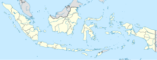
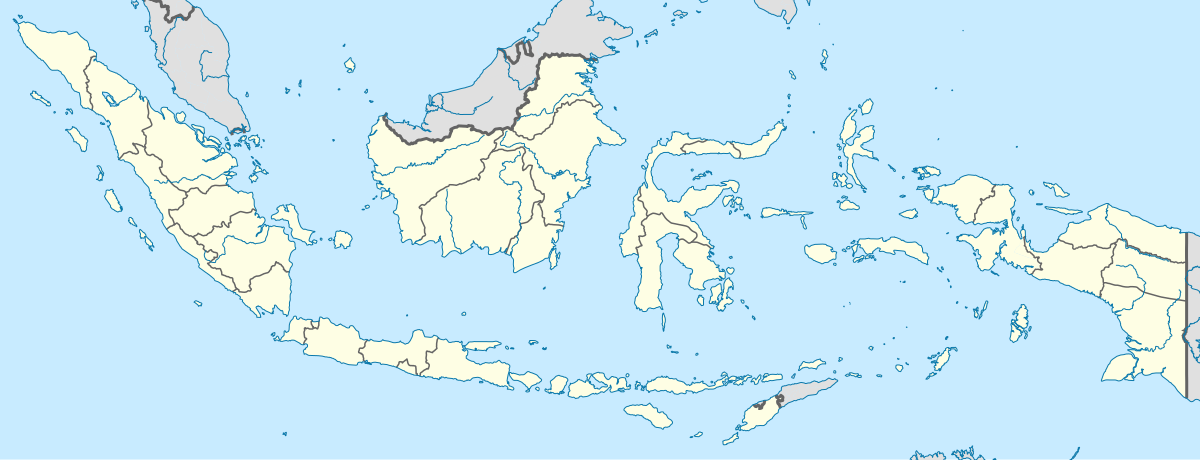
English: Location map of Indonesia.
Equirectangular projection. Stretched by 100.0%. Geographic limits of the map:
|
| ວັນທີ | |
| Source | Own work |
| ຜູ້ຂຽນ | Uwe Dedering |
| Other versions |
|
Licensing
I, the copyright holder of this work, hereby publish it under the following licenses:
This file is licensed under the Creative Commons Attribution-Share Alike 3.0 Unported license.
- You are free:
- to share – to copy, distribute and transmit the work
- to remix – to adapt the work
- Under the following conditions:
- ສະແດງທີ່ມາ – You must give appropriate credit, provide a link to the license, and indicate if changes were made. You may do so in any reasonable manner, but not in any way that suggests the licensor endorses you or your use.
- ແບ່ງປັນຄືກັນ – If you remix, transform, or build upon the material, you must distribute your contributions under the same or compatible license as the original.

|
Permission is granted to copy, distribute and/or modify this document under the terms of the GNU Free Documentation License, Version 1.2 or any later version published by the Free Software Foundation; with no Invariant Sections, no Front-Cover Texts, and no Back-Cover Texts. A copy of the license is included in the section entitled GNU Free Documentation License. |
You may select the license of your choice.
ປະຫວັດໄຟລ໌
ຄລິກທີ່ ວັນທີ/ເວລາ ເພື່ອເບິ່ງໄຟລ໌ດັ່ງທີ່ມັນປາກົດໃນເວລານັ້ນ
| ວັນເວລາ | ຮູບຍໍ່ | ມິຕິ | ຜູ້ໃຊ້ | ຄວາມເຫັນ | |
|---|---|---|---|---|---|
| ປະຈຸບັນ | 15:54, 4 ທັນວາ 2022 | 1,200 × 460(739 KB) | NordNordWest | upd | |
| 20:17, 2 ກໍລະກົດ 2022 | 1,200 × 460(910 KB) | NordNordWest | upd | ||
| 20:21, 26 ມິຖຸນາ 2013 | 1,200 × 460(854 KB) | NordNordWest | upd | ||
| 12:58, 18 ກຸມພາ 2010 | 1,200 × 460(1.2 MB) | Uwe Dedering | {{Information |Description={{en|1=Location map of Indonesia. Equirectangular projection. Strechted by 100.0%. Geographic limits of the map: * N: 6.5° N * S: -11.5° N * W: 94.5° E * E: 141.5° E Made with Natural Earth. Free vector and raster map |
ການໃຊ້ໄຟລ໌
3 ໜ້າຕໍ່ໄປນີ້ເຊື່ອມໂຍງຫາໄຟລ໌ນີ້:
ການໃຊ້ໄຟລ໌ທົ່ວໂລກ
ວິກິອື່ນ ໆ ຕໍ່ໄປນີ້ໃຊ້ໄຟລ໌ນີ້:
- ການໃຊ້ງານເທິງ ace.wikipedia.org
- ການໃຊ້ງານເທິງ af.wikipedia.org
- ການໃຊ້ງານເທິງ als.wikipedia.org
- ການໃຊ້ງານເທິງ an.wikipedia.org
- ການໃຊ້ງານເທິງ ar.wikipedia.org
- ການໃຊ້ງານເທິງ ast.wikipedia.org
View more global usage of this file.